Digital maps are versatile, but sometimes you still need a good, printed map. Printing from a digital map can present unique challenges. The 2018 release of Hexagon Geospatial’s WebGIS products introduces refined functionality for map printouts on Geospatial Portal.
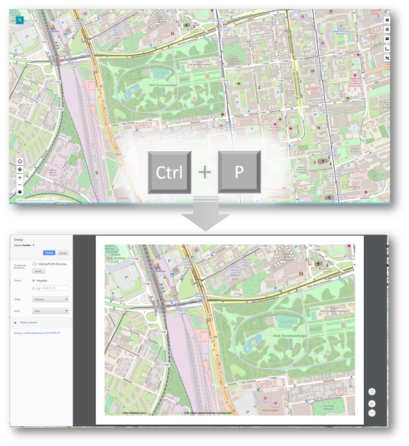
Printing a map is different from taking a screenshot of the interface. Sometimes you want to limit the number of features from the map, and you definitely want to hide extraneous interface elements. An all of this needs to be done with the knowledge that the majotiry of users will print the map using the native browser’s print function.
In WebGIS 2018, the Printout is now more reliable and displays elements selected from the web page. In addition, the all unnecessary elements of portal are now hidden. This includes toolbars, tabs, search, etc. and allows for a much cleaner final product.
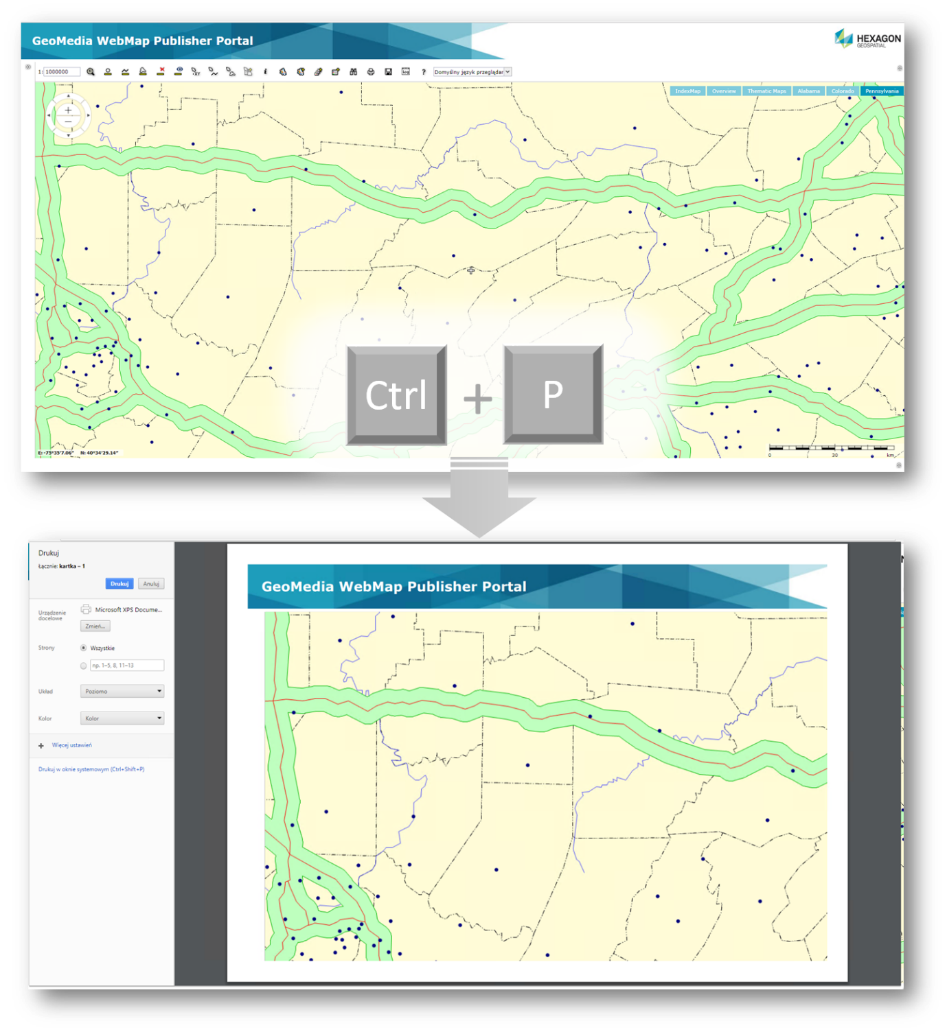
Using standard browser print function (accessed through the menu or the Ctrl+P shortcut) you can create a clean, polished printout with no need to use and configure an external printing service. However, if you choose, you can access additional customization options that allow you to change the print layout, by modifying portal CSS. From there you can manage styles, sizes and select which sections of the map view are visible in the final output.
The enhanced printout functionality is also available within the Consumer Layout.