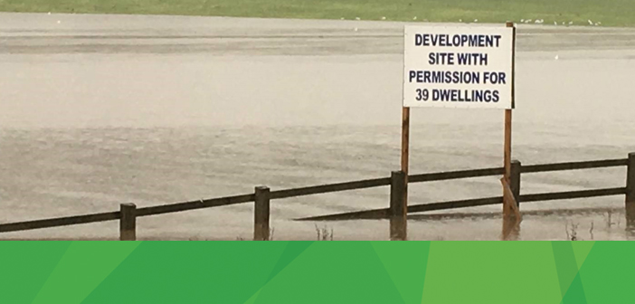
Floods are unpredictably dangerous, and can cause death and injuries to people within a community. Although many local governments may have a flood plan in case a natural disaster occurs, it is often times better to be prepared before the flood strikes, if possible. Knowing if a certain an area is flood prone can help people adapt a plan before the havoc, and can ultimately help save lives.
Given the increase in extreme weather events, climate change, and the impact upon human infrastructure—such as recent floods in the UK—being able to model and predict locations that might be most impacted becomes increasingly important. One such example is identifying areas of land which, while not normally inundated with still or moving water, are most prone to retaining water as it passes through a catchment area and becomes waterlogged or flooded.
Using ERDAS IMAGINE’s Spatial Modeler, a model can be constructed to measure the Terrain Wetness Indicator. This wetness indicator (WI) is a means of measuring drainage or drainage potential in a landscape, identifying areas where water will either pool or runoff water will slow significantly. The process identifies where elevation changes are less than surrounding areas and where flow routes may be somewhat inhibited. WI areas are exclusive of permanent water bodies and wetlands, but may provide significant storage and contribution to these areas.
Executing the model using an input Digital Elevation Model (DEM) can help relief managers predict areas prone to water logging during an extreme weather event, even if they are not areas traditionally subject to flooding when a river bursts its banks.
For more on wetness indicators, check out Terrain Wetness Indicator from a DEM from Spatial Recipes in the Hexagon Geospatial Community.


