Hexagon’s Geospatial division is no stranger to partnerships. Its partners around the world have built solutions based on Hexagon software for their local customers for years. In addition, the division has forged partnerships with academic institutions to help train the next generation of geospatial technology users.
Recently, however, Hexagon saw a new type of partnership opportunity emerge that included not only one of its existing resellers, and an academic institution, but the opportunity to jointly train existing GIS users in the Western Indian Ocean (WIO) region to focus on capacity building that addressed a specific challenge: Smart Sustainability for Coastal Cities (SSCC). Capacity building is generally understood to be the process by which individuals and organizations obtain, improve, and retain the skills, knowledge, tools, equipment, and other resources needed to do their jobs competently.
The collaborative effort was prompted by the Western Indian Ocean Marine Science Association (WIOMSA), which strives to link the knowledge that emerges from research to the management and governance issues that affect marine and coastal ecosystems in the WIO region. To this end, WIOMSA implemented a four-year Cities and Coasts Project (2018-2021), with one of its objectives being to support and facilitate capacity building in city planning, with a focus on coastal cities.
Training Workshop in Kenya

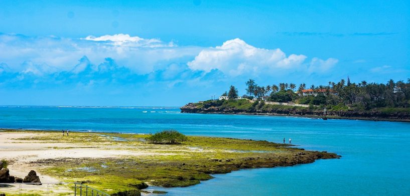
In partnership with Macquarie University (based in Sydney, Australia) and Hexagon’s Geospatial division, WIOMSA held a training workshop in Mombasa, Kenya, in December 2019 on the application of geospatial technology for smart and sustainable coastal cities. The workshop focused on building the capacity on geospatial methods and tools available for planning and implementation of a smart and sustainable coastal cities agenda.
The training was primarily tailored for practitioners within relevant national and local government departments and academics from the universities in the region. Attendees came from six countries in the Western Indian Ocean (Kenya, Tanzania, Mozambique, Madagascar, South Africa, and Comoros).
The workshop brought together a Hexagon partner in East Africa, Oakar Services, educators in Spatial Information Science from Macquarie University, and Hexagon.
The hands-on, six-day event covered core skills on manipulating remote sensing data and retrieving information, deploying new tools for building mobile applications, visualizing and analyzing data for aiding decision support, assessing climate-change vulnerability, and monitoring, detecting, and predicting land-use change. The technologies represented a shift away from a conventional ‘GIS mapping’ approach to a more advanced and comprehensive geospatial analysis and solution approach for sustainable coastal cities.
What’s Next
Given the high expression of interest to learn geospatial skills in the SSCC context in the region, there is a need for another round of training workshops, especially building on the initial skills to generate a specialized cohort of SSCC spatial analysts in the region.
Contact Hexagon to learn how Hexagon’s geospatial technology can provide value to your capacity-building projects.


