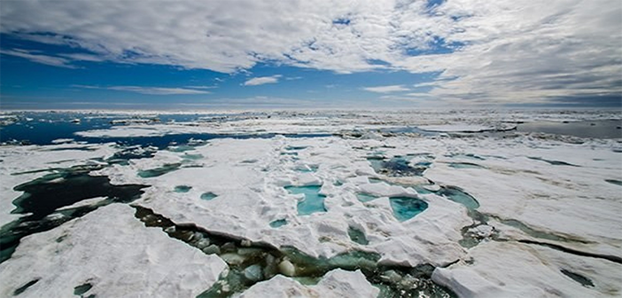
Last month, Luciad completed its participation in the Arctic Spatial Data Pilot, an OGC project dedicated on showing the benefits of geospatial standards for the Arctic. Interoperability and open standards enable efficient exchange and use of polar data, which benefits research on topics such as climate, oceans, ecosystems and permafrost.
Although remote to most people and only encompassing 6 percent of the Earth’s surface, the Arctic is tied to every point on the globe through land, sea, or air. Our daily weather, what we eat, and coastal flooding are all tied to the future of the Arctic. It is thus of vital importance to study the area and its global connection. Related to global climate change, studies showed that temperatures in the Arctic are rising at twice the global rate, resulting in a dramatic decline of the region’s sea ice. The Arctic Spatial Data Pilot demonstrates how standards and interoperability can provide an online network of polar data resources, helping stakeholders to gain new perspectives into social, economic and environmental issues.
Luciad contributed a set of OGC web services delivering polar data and used its Lucy application framework to showcase polar data analysis:
A first analysis use case focuses on sea ice age. Arctic Sea Ice Age measurements show that the sea ice is becoming younger. Since the 1980s, the amount of multiyear ice has declined dramatically. One particularly affected area is the Beaufort Gyre, Northeast of Alaska. Warmer waters made it less friendly to perennial ice since the start of the 21st century.
A second analysis use case focuses on the impact of shipping activities around the Arctic. The Arctic encompasses a number of shipping routes, grouped into a Northwest Passage and a Northeast Passage. Each passage crosses a number of Large Marine Ecosystems (LMEs), potentially impacting their large amount of wildlife species by disturbances and implications from shipping activity.
All project results and demonstration videos are made available online. Project sponsors include US Geological Survey (USGS) and Natural Resources Canada (NRCan). The demonstration scenarios are developed with assistance from the Inuit Circumpolar Council (Alaska) and Arctic Council’s Conservation of Arctic Flora and Fauna working group.


