


You can now bring terrestrial point cloud data directly into GeoMedia 3D (an extension to GeoMedia) and display it right alongside the GIS data. This opens up a wealth of new opportunities to utilize the information captured in a point cloud to directly support GIS analysis.
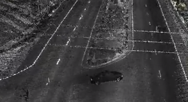
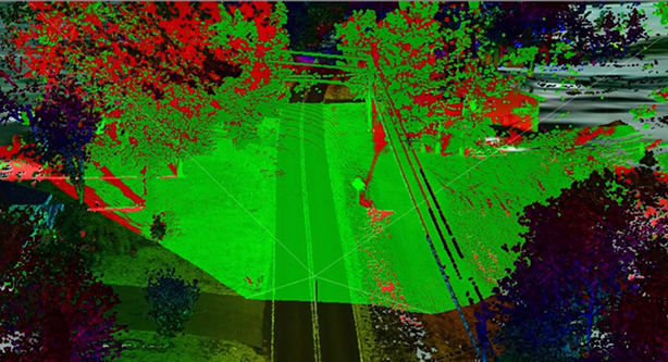
Here is an example of the level of detail that can be captured in a point cloud. The high tension wires that cross the road are clearly visible in the point cloud displayed in GeoMedia 3D.
GeoMedia 3D Point Cloud Display
What’s even better is that there is more detail in the point cloud than needed for the analysis I am conducting today, but I can come back on a later date, and harvest it for another project. The concept of capturing once and using many times is highly applicable to point cloud data. Keeping the data after you’ve extracted what you need can reap benefits down the road.
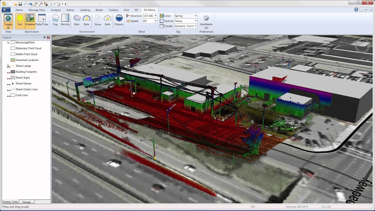
GeoMedia 3D is not just displaying the point cloud data, it is available for analytical use, just like any other geospatial data in GeoMedia would be. It is easy to create a view shed using the point cloud data and see the results in real-time.
Real-Time View Shed Analysis Utilizing Point Cloud Data
I also have additional flexibility in using the point cloud data for analysis. For example, I can use the intensity return to drive my color setting. Color sequences like this allow better control over the visual aspect of the point cloud data. With certain color sequences, street furniture can be made to stand out, and with other settings, the vegetation will. The key point is I have access to the point cloud with my geospatial tools.
Point cloud data, as you know, is very dense. However, I can dynamically filter it in GeoMedia 3D to display just what I am interested in. I can view only bare earth points or just the vegetation points. GeoMedia 3D can query point clouds to gain a better understanding of their attributes. It allows me to retrieve attribute information from individual points within the point cloud (in this case following ASPRS LAS conventions). Filtering on the attributes allows me to de-clutter the view.
To further re-enforce that point clouds are handled like any other data set, shadow casting functionality within GeoMedia 3D can be applied. Points making up the power lines will actively affect the shadows being cast on the ground. Point cloud data and the ability of GeoMedia 3D to handle it directly alongside your GIS data provides a truly immersive 3D experience by navigating around the area to show off aspects of the 3D representation of the project and capturing the video. There’s no better way to help visualize a GIS project for the general public.
That’s a brief overview of how GeoMedia 3D, with integrated point cloud data can bring your GIS analysis to new heights and new levels of accuracy.
Watch this demonstration for an interactive look at how easy it is to integrate Point Cloud data into your GIS.
Resources:
GIS Point Cloud Integration White Paper
