Hexagon/GEOSYSTEMS Solution Allows German Officials to Automate Workflows
Sometimes a geospatial problem blends elements of both the earth and the skies above. In such cases, creating your own blend — a partnership between multiple agencies —can lead to innovative solutions.
German land survey offices and geoinformation centers are regularly tasked with providing other departments and governmental agencies with remote sensing-based spatial information.
Until recently, that responsibility was time and resource intensive. Requesting agencies need fresh, high-quality satellite data, which is not itself a problem thanks to the European Union’s Copernicus Programme and Sentinel satellites — perfect sources for free, high-resolution imagery and sensor data.
But acquiring, sorting, and preparing that data required the attention of dedicated personnel. The sheer amount of geospatial and location data available created an overload, and compounding that challenge was the ongoing frequency of imagery and data requests.
The State Office of Internal Administration in Mecklenburg-Western Pomerania in north Germany has been a pioneer in providing remote-sensing based data to governmental agencies and citizens. Like similar offices across Germany, it individually fulfilled incoming requests from agencies and departments needing geospatial data.
End-to-End Framework
To make it easier to create customized geodata products and services for requesting agencies, the office needed to eliminate manual processes with a cost-effective solution that could automate the downloading, processing, and sharing of terabytes of Copernicus and Sentinel satellite data.
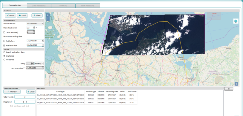
The agency turned to GEOSYSTEMS GmbH, a Hexagon partner, for help, and the result is mySentinel, an end-to-end framework GEOSYSTEMS built using technology from Hexagon’s Geospatial division.
ERDAS IMAGINE and ERDAS APOLLO products and the add-ons IMAGINE NoClouds and ATCOR Workflow for IMAGINE are all used to periodically search for and download data, then decompress it, perform corrections, and store it.
mySentinel can be adjusted to suit any department’s geospatial data needs, and it produces clean, up-to-date imagery with minimal human attention or intervention — no specialized staff, no siloed data, and no incompatible software to break up workflows.
mySentinel has saved the office time and money and improved their daily work. To learn more, download the complete case study.


