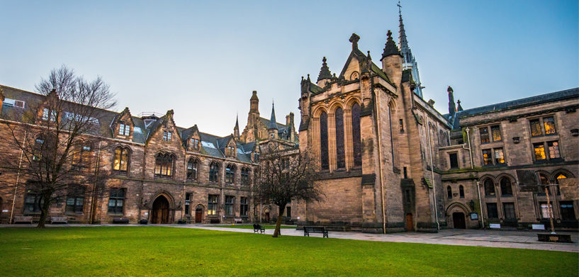
Today’s students are tomorrow’s decision makers, and some are already doing incredible work with Hexagon technology to advance the geospatial industry.
To learn about and share details of these successes, Hexagon’s Geospatial division hosted an Education Extravaganza. Participants submitted information about Hexagon technology being used in academic applications, and stories came in from around the world — Kenya, South Africa, UK, Italy, Germany, Netherlands, and Egypt.
What kind of projects did the students work on? Studying the development of slums, mapping mosquito distribution, detecting shorelines and ships, and identifying heat islands are just some of the innovative ways they used geospatial technology.
In fact, Hexagon’s solutions perform a variety functions at institutions all over the globe.
- At George Mason University in Virginia, seniors have used Luciad Portfolio technology for year-long capstone projects including tampering detection with machine learning, integrity in body camera video, and applying risk management framework to secure authorization to operate.
- Using M.App Enterprise, a student in Germany produced a bachelor thesis combining change detection and cadaster data into one view; he’s now working on a master thesis using the same technology.
- A group of postgraduate researchers at the University of Oxford have used ERDAS IMAGINE and machine learning to detect and monitor elephants with satellite imagery.
- The Lodz University of Technology in Poland used Mobile Alert to create a smart campus, where students can report issues like broken lights, benches or other campus property; gated parking lot problems; vandalism; and more.
- At the Universita Degli Studi di Reggio Calabria in Italy, geographic object-based image analysis and satellite imagery were used to analyze olive trees’ vegetative vigor with Spatial Modeler in ERDAS IMAGINE.
Are supported by our partners in education, Brilliant Remote Sensing Labs, Northern Alberta Institute of Technology, YouthMappers, and USGIF, students have developed exciting use cases for Hexagon’s geospatial technologies.
Check out Hexagon’s education programs to learn more about how our solutions are being used in academia. If you have research or an exciting project you would like to share on our blog, please contact Sabrina Anderson, and she will send you our blog template.


