November 13, 2019, was the 20th annual celebration of International Geographic Information Systems (GIS) Day. Universities and organizations across the world celebrate GIS Day by hosting conferences, educational events, and networking occasions.
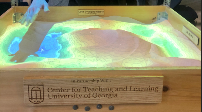
The University of Georgia (UGA) invited Hexagon’s Geospatial division to participate in their GIS Day event by showcasing company information and talking to students about careers and internships. Other participants this year were governmental agencies, private companies, and students displaying their projects using GIS technologies. The event also included a drone-flying exhibit, the famous UGA weather and climate sandbox, and a map competition.
The Hexagon Geospatial Education Team met students from all disciplines who were looking to network and learn more about geospatial sciences. The main Hexagon products displayed during GIS day were the GeoMedia GIS solution, the ERDAS IMAGINE remote sensing solution, and Luciad Portfolio, a suite of products supporting advanced data visualization and analytics. The resolution and software capabilities attracted the attention of many GIS enthusiasts.
An unexpected and special treat was the appearance of one of the creators of ERDAS IMAGINE, Bruce Rado. Bruce is also a proud graduate of UGA and is a big fan of the Georgia Bulldogs.
We would like to thank Aileen Nicolas and Valerie Glenn of UGA for their leadership and coordination of the event.
Continue to keep up with Hexagon Geospatial Education on our website.


