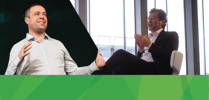
Earlier in October, we announced that Hexagon acquired Luciad, the Belgian-based software company specializing in the visualization and analysis of real-time location intelligence. Luciad will operate within the Hexagon Geospatial division, and I couldn’t be more excited about our future together developing and delivering 5D information services.
Who is Luciad?
If you are not familiar with Luciad, they deliver solutions that power mission-critical operations, immediately. They specialize in visualization and analytics of objects that move and change on the Earth’s surface (planes, cars, people movement, ships, trains, water, land, infrastructure). Luciad provides high-performance software tools for rapid application development of advanced systems in the Aviation, Defense, and Security markets.
Luciad supports the rapid fusion of the real and digital worlds, providing the bridge between capturing sensor data and delivering IT information services. Their technology connects to real-time sensors, visualizes and analyses the sensor data from moving objects, and immediately calculates and delivers information. Luciad’s software platform supports solutions within Smart City, Public Safety, Agriculture, Mining, and Defense and Intelligence. Across Hexagon, Luciad’s technology can be integrated into several key initiatives, including Smart Build, Smart Factory, Real City and Digital Reality solutions.
For a quick preview of their capabilities, check out their free trial, Lucy. It’s an awesome appetizer application built on the Luciad stack.
Driving Innovation in the Geospatial Industry Together
The next disruption in our industry will be caused by the sheer number of sensors collecting data – from small sats to the IoT. The challenge lies in harnessing the data collected by all those sensors and delivering useful information. Add to that the complexities of processing the data, and the processing power needed to do that efficiently, and it’s a significant task. To handle this, you must leverage the power of the cloud, whether that be in the public cloud or on a private network within an enterprise.
We introduced a paradigm shift in the market with the Hexagon Smart M.App. This takes the complicated process of building a map that effectively communicates information.
That’s where Luciad enters the picture. They are world technology leaders in harnessing, analyzing, and displaying real-time data sensor feeds. I am really excited about bringing this technology together with our core strengths to utterly transform the geospatial market.
See How Luciad and Hexagon Geospatial Technology Work Together
In my keynote at HxGN LIVE, I demonstrated a case where Luciad and Hexagon Geospatial collaborated on a solution. The Noise Pollution segment leveraged Luciad technology to visualize the information about the train system in Stuttgart to provide compelling views and analysis in 4D. Check it out:
Luciad and the Hexagon Smart M.App
The first, most obvious way that the Luciad technology complements our products can be seen in the Hexagon Smart M.App. Luciad’s emphasis on real-time analysis and integration of sensors aligns perfectly with Hexagon’s vision for Smart M.Apps. Together, we seek to transform the map from a static picture of how the world was into a dynamic information service that doesn’t just give you a glimpse into the past but presents a host of interactive tools to understand your world and make better decisions.
Luciad’s technology will add 3D, 4D (real-time sensor feed integration) and 5D (dynamic analytics) to the Smart M.App platform. This combination is truly transformational.
Of course, our legacy products such as ERDAS IMAGINE and GeoMedia will also be able to leverage the visualization engines developed by Luciad, thereby making those products even more powerful and versatile.
Where Will We Go From Here?
We all have access to so much data today. It overwhelms us. Not just accessing the data, but making sense of it, and communicating the intelligence that we derive from the data. The challenge lies in fusing artistry and technology to communicate information effortlessly.
Dynamic information is no longer just a vision, but an expectation. We build upon our legacy of sophisticated technology and transform that into something that is easily understandable. We are excited about how we, with the addition of Luciad, are shaping potential every day, transforming the way we think about our industry segments, about maps, about technology, and about the art and science of communication.
By combining the power of the Hexagon Smart M.App with the 3D and 4D visualization and analytic tools offered by Luciad, we will utterly transform the map and truly deliver a 5D experience.


