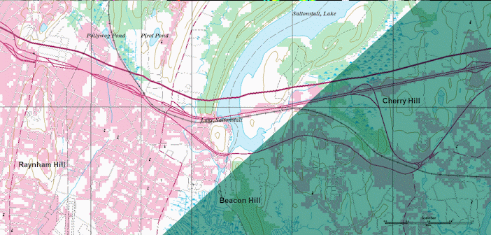
GeoMedia is a powerful, flexible GIS management platform that lets you aggregate data from a variety of sources and analyze them in unison to extract clear, actionable information. It provides simultaneous access to geospatial data in almost any form and displays it in a single unified map view for efficient processing, analysis, presentation, and sharing. In addition, GeoMedia functionality makes it ideal for extracting information from an array of dynamically changing data and supporting smarter decisions.
Before any of this, everyone begins with one simple question: How do I get started?
Introduction to GeoMedia and the GeoWorkspace, the newest eTraining from Hexagon Geospatial, will quickly get you started and on your way. This module discusses the concepts that lay the foundation for building a GeoWorkspace. You’ll be introduced to warehouses, understand connections and become familiar with the layout of the interface.
After viewing this module you will also be able to:
- Access common tools to navigate data
- Create a custom Quick Access Toolbar to put your favorite tools at your fingertips
- Understand the different windows available in the GeoWorkspace and when to use them
- Activate Caching
- Utilize Quick Pick for easy feature selection
- Edit feature attributes
With these fundamental tools and concepts harnessing the full power of GeoMedia is quickly with your reach.
To access this and the full eTraining library, visit the eTraining page on the customer support site. Login to view the videos and scripts.
For regular blog updates including information on new


