


Looking back, 2016 was a great year for Hexagon Geospatial. Throughout the year we were able to attend several regional trade shows where we were able to teach others about the many uses of geospatial technology and hear about our customers success with the implementation of our solutions. With that said, let’s take a look back at our great stories from the Provider Suite for 2016.
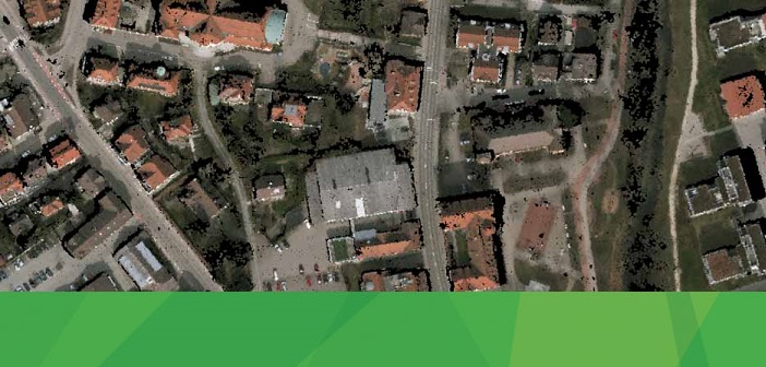
 Powerlink Creates Efficiencies Through Self-Service Mapping
Australian utility company Powerlink Queensland has experienced improved productivity following the implementation of Hexagon Geospatial’s ERDAS APOLLO and GeoMedia® Smart Client. ERDAS APOLLO’s gave Powerlink the ability to utilize and serve one seamless, virtual, high-resolution mosaic from 20 different groups of images for the entire state of Queensland.
 Modernizing Mapping Operations in Kenya
Survey of Kenya moved from an outdated and time-consuming analog mode of producing and consuming geospatial data. They modernized the operations in order to keep up with the demands from other departments within the Ministry of Lands, the government, and general public. They implemented ERDAS APOLLO to digitally catalog all of their data for easy and distributed access.
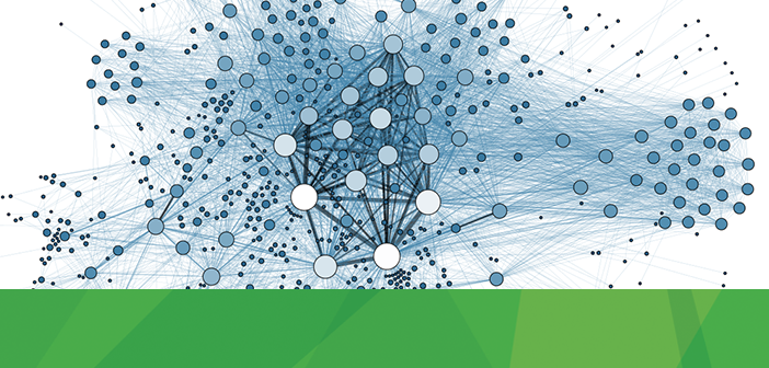 Organizing Government Data for Maximum Value Extraction
Hexagon Geospatial participated in the annual Technology in Government conference held in Canberra where organizing government data within departments was a popular theme. Using ERDAS APOLLO, government departments can create a single source of truth for their data. Its powerful virtual cataloging and data management capabilities help better prepare the data for maximum value extraction.
 OGC Honors Hexagon Geospatial Employee with Gardels Award 2016
The Open Geospatial Consortium presented the Gardels Award 2016 on Stan Tillman, a Hexagon Geospatial employee who passionately works for customers and open standards. Stan has worked for the OGC for many years and is responsible for responsibility for integrating the OGC standards into Hexagon Geospatial products and solutions.
 ERDAS APOLLO is Certified OGC Compliant
The Open Geospatial Consortium (OGC) is made up of companies and government agencies that work together to establish and maintain publicly available geospatial interface standards. OCG-compliant products can work together, regardless of the company that developed them. We are proud to announce that ERDAS APOLLO Advantage 2016 and ERDAS APOLLO Professional 2016 are certified OGC Compliant.
